Here! On the rock glacier
of Pian dei Cavalli
Pian dei Cavalli
The rock glacier of Pian dei Cavalli, one of the largest in South Tyrol, is a remarkable natural laboratory for understanding the inner workings of these massive bodies of debris and ice.
5
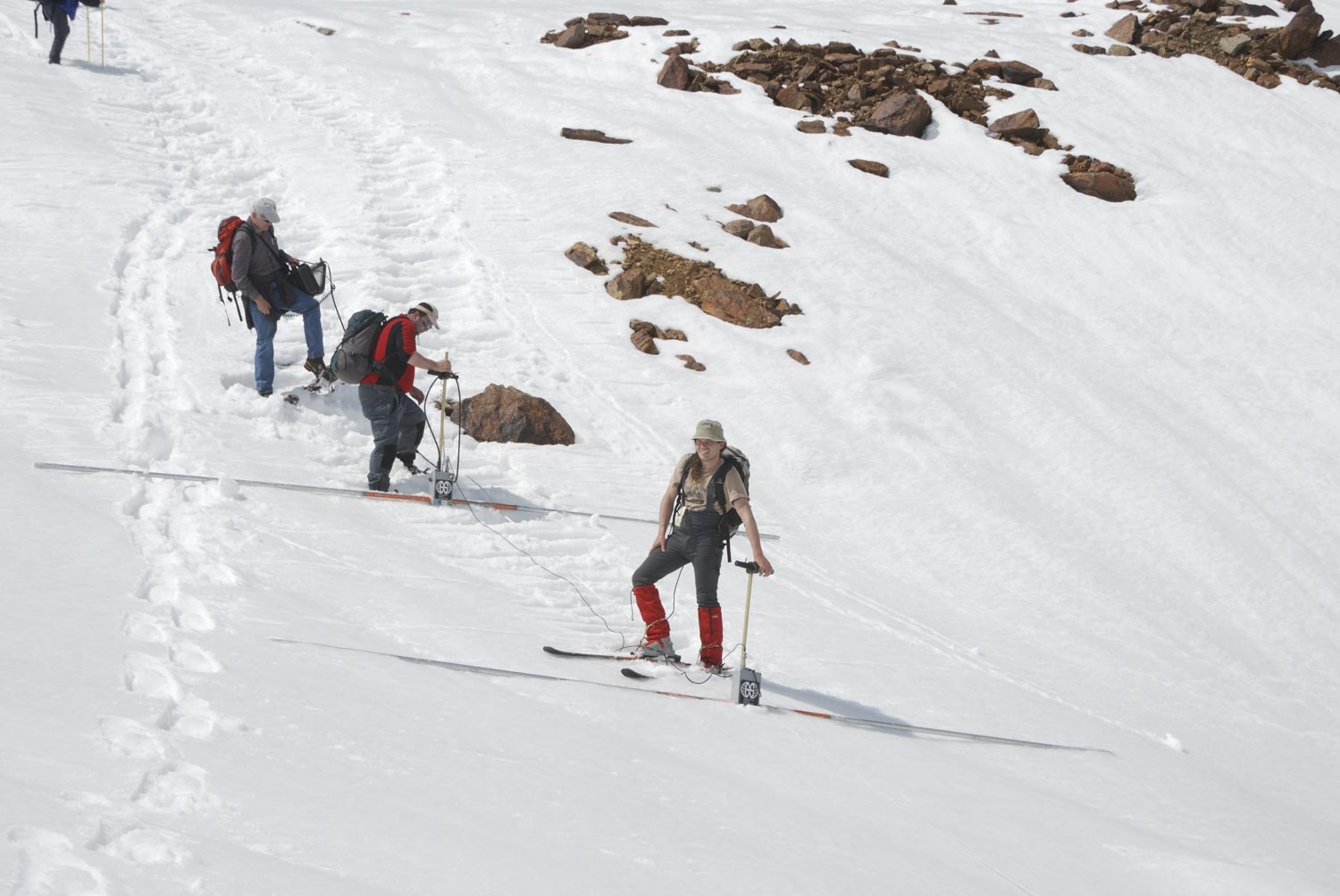
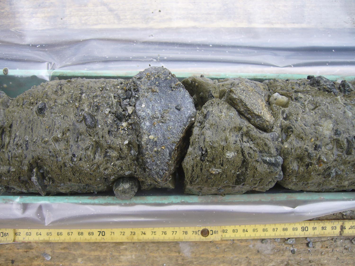
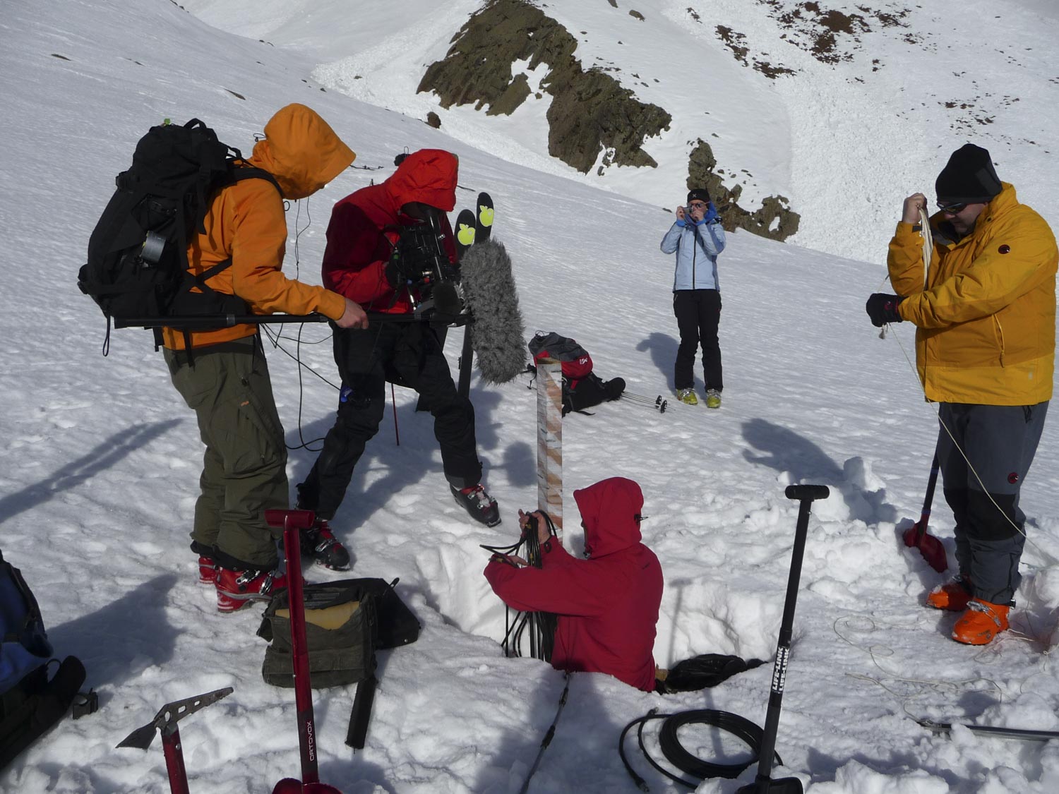
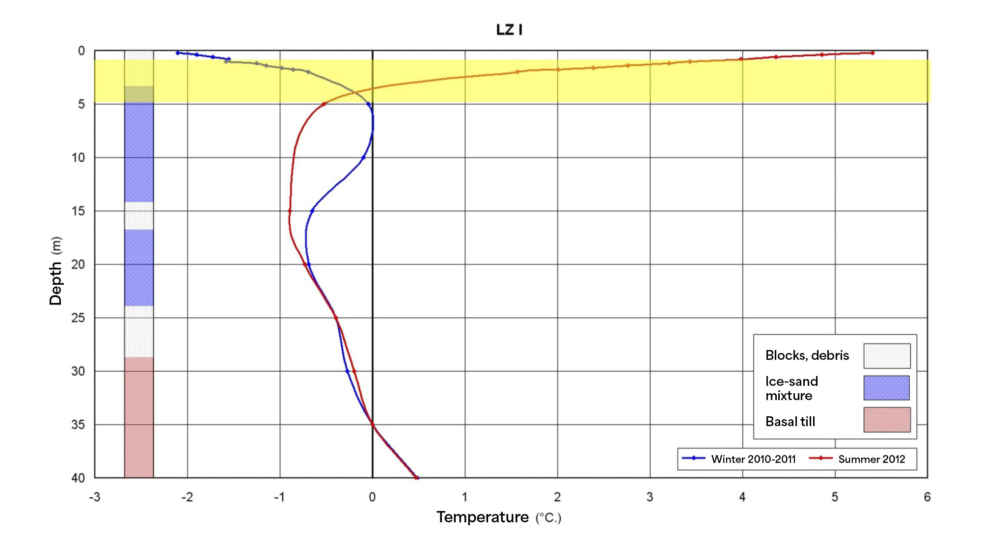
To determine what lies beneath the surface debris, scientists use ground-penetrating radar, seismic surveys, or carry out boreholes. In this way, the vertical profile of the Rossbänke rock glacier could be reconstructed: in the upper meters, large, angular boulders with substantial cavities are found. Below a depth of about 10 meters, the material becomes finer and is mixed with ice. At depths of 35–40 meters and below, ground temperatures partly exceed the freezing point due to geothermal heat, leading to water outflows that feed several springs.
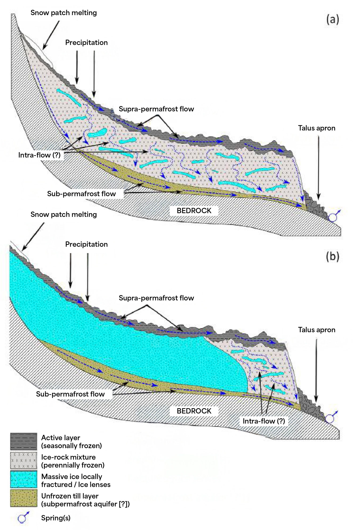
Rock glaciers respond to temperature changes down to 5–8 metres. This upper active layer is highly dynamic: freeze–thaw cycles cause rockfalls, landslides, and sudden bursts of water. Below this zone lies the stable permafrost, where temperatures remain permanently below 0 °C.
The impacts of climate warming are already evident. Over the past decade, the Pian dei Cavalli rock glacier has accelerated its flow and its surface has sunk by up to 2 metres due to ice melt.
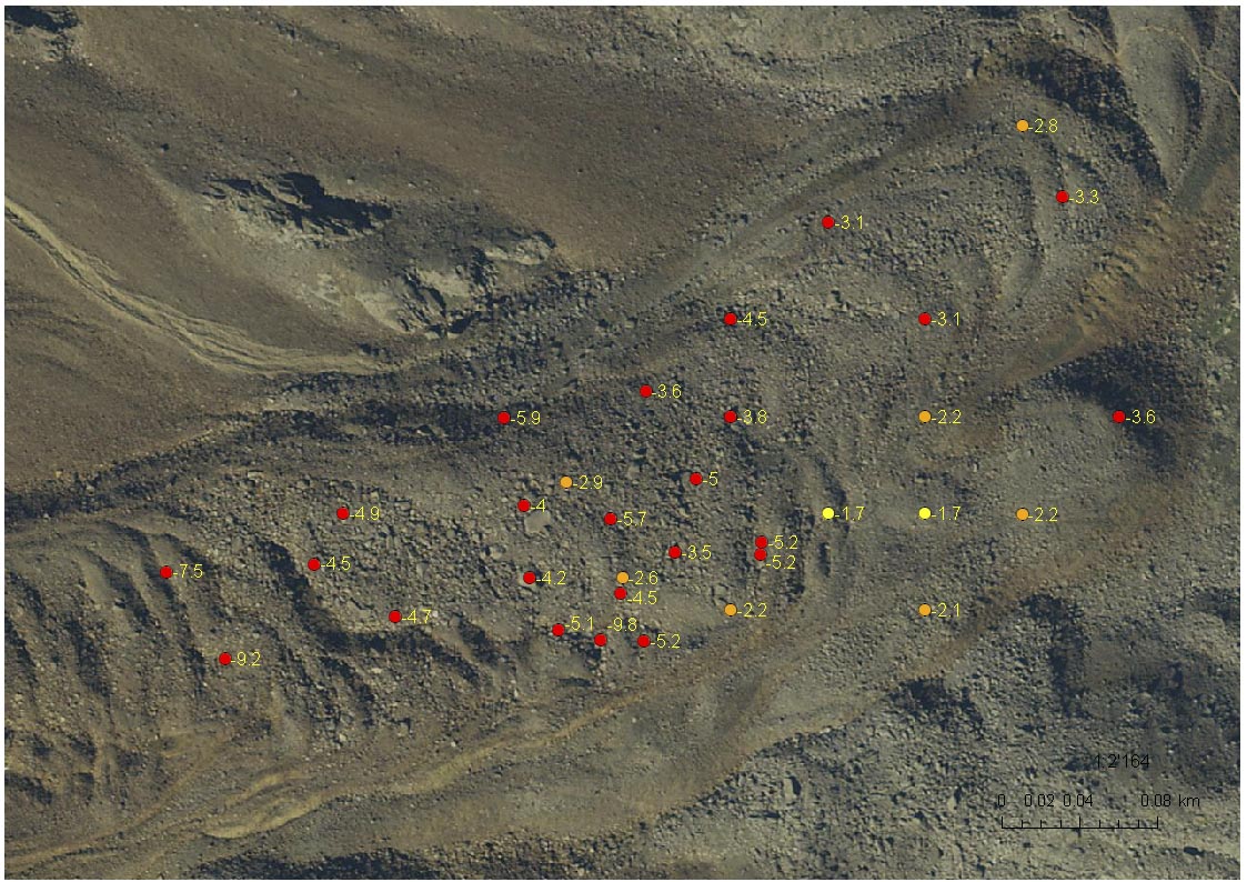
Legend
Yellow v ≤ 20 cm/year
Orange 20 cm/year < v ≤ 30 cm/year
Red v > 30 cm/year
Ground-penetrating radar measurements